Station Overview
| Overview Location |
 |
|---|---|
| Picture Gallery | details... |
| Geological Unit | Alluvial fan |
|---|---|
| Site Morphology Class |
T1 T1: flat; T2: slope; T3: ridge and T4: steep ridge; following Pessina and Fiorini (2014) A GIS procedure for fast topographic characterization of seismic recording stations, Soil Dynamics and Earthquake Engineering, 63, p248-258 |
| Site Morphology Description | Edge of the Rhone alluvial plain (alluvial fan) |
| Ground type EC8 | B |
| Ground type SIA | C |
| Basin Information | Rhone basin, interface at fundamental frequency at 150 m depth |
| Reference | Michel Clotaire, Roten D., Poggi V., Burjanek J., Cauzzi C., Fäh D., "Sion-Mayennets (SIOM) Site characterization report", Swiss Seismological Service, ETH Zürich, 2013 |
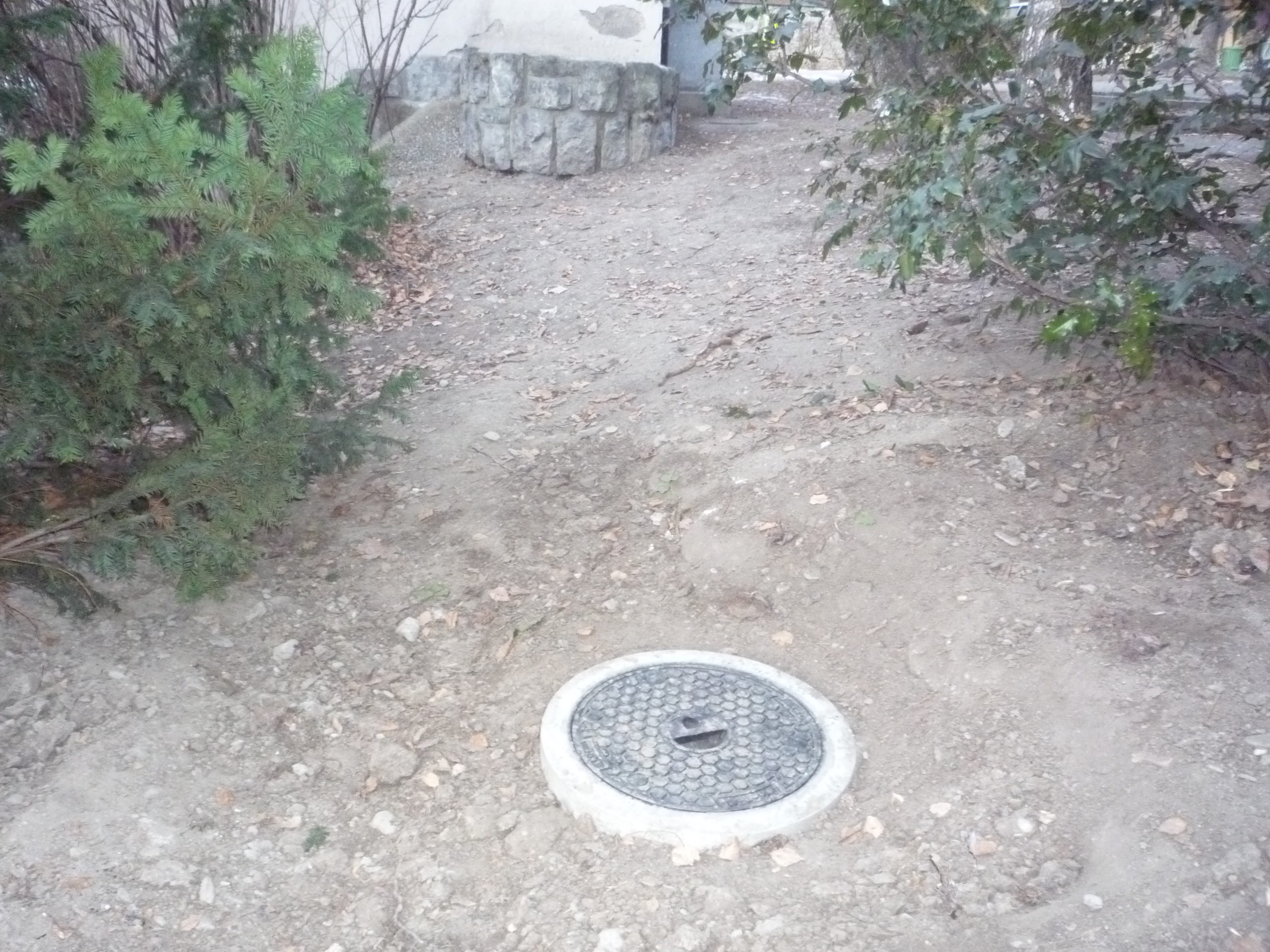
Sensor locations
| Location Code | (none) |
|---|---|
| Opening Date | 05-01-2011 |
| End Date | - |
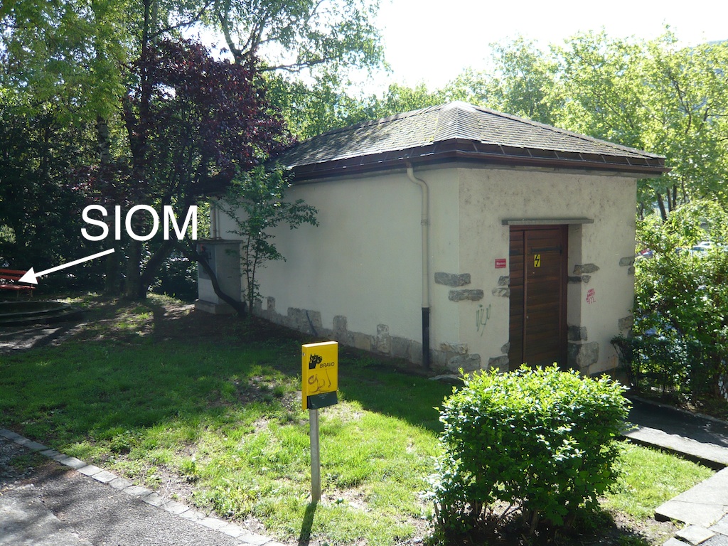
| Housing Class | Free field |
| Housing Description | SED small vault |
| sensor depth below station | 0.5 m |
| Distance to Building (m) | - |
| Location Code | (none) |
|---|---|
| Opening Date | 12-03-1993 |
| End Date | 2011-01-05 |
| Housing Class | Urban free field |
| Housing Description | Inside of transformer house |
| sensor depth below station | 0.0 m |
| Distance to Building (m) | - |
Site Characterization
|
channel group |
Empirical Amplification |
|---|---|
| CH.SIOM..HG | 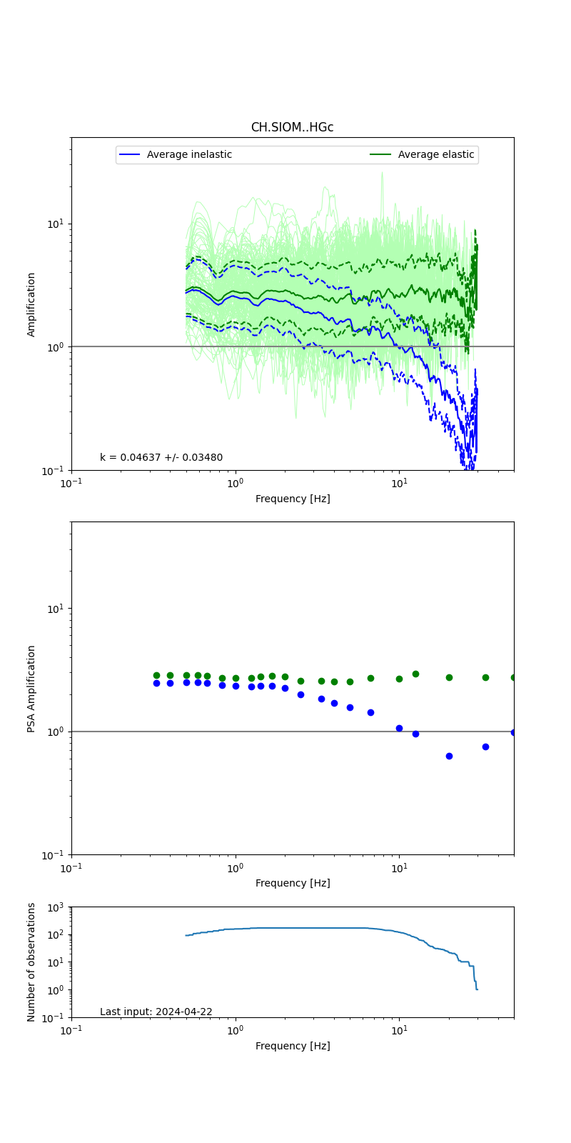 |
Obtained from spectral modeling of small earthquakes with constant update.
- Top: Fourier amplification with elastic (dashed line) and anelastic (solid line) amplification functions;
- Centre: 5% damped response spectra amplification (anelastic);
- Bottom: Number of recordings used.
See Edwards et al. (2013), Determination of Site Amplification from Regional Seismicity: Application to the Swiss National Seismic Networks. Seismological Research Letters, 84(4), 611–621.
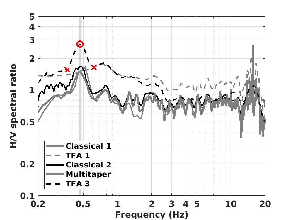
| H/V pick image: |
 |
|---|---|
| Authoritative Site Characterization Analysis | details... |
| measurements nearby | list... |
|---|