Station Overview
| Overview Location |
 |
|---|---|
| Picture Gallery | details... |
| Geological Unit | Limestone of Upper Jurassic age |
|---|---|
| Site Morphology Class |
T3 T1: flat; T2: slope; T3: ridge and T4: steep ridge; following Pessina and Fiorini (2014) A GIS procedure for fast topographic characterization of seismic recording stations, Soil Dynamics and Earthquake Engineering, 63, p248-258 |
| Site Morphology Description | Rock slope |
| Ground type EC8 | |
| Ground type SIA | |
| Basin Information | not in a sedimentary basin with possible 2D/3D effects |
| Reference |
Sensor locations
| Location Code | (none) |
|---|---|
| Opening Date | 24-11-2011 |
| End Date | - |
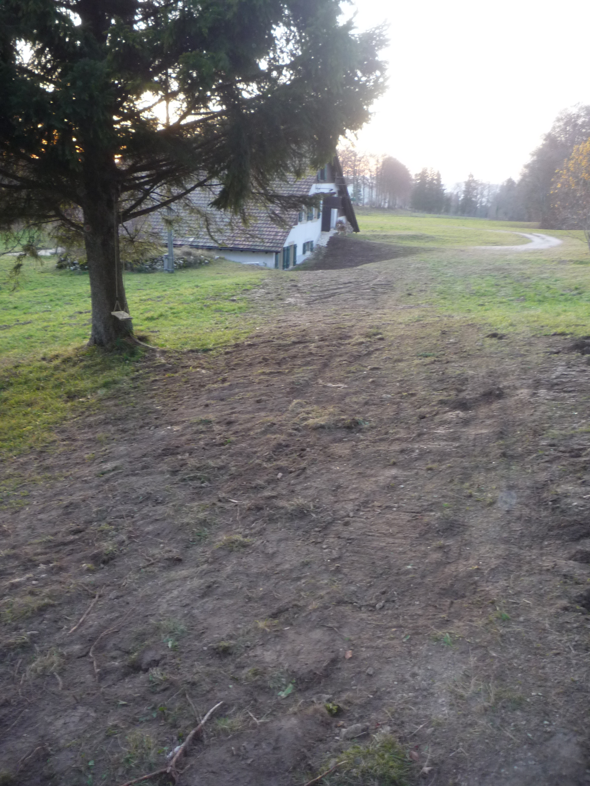
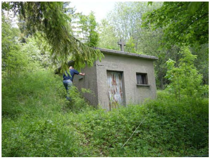
| Housing Class | Urban free field |
| Housing Description | engineering room of an water reservoir. Sensor in basement in SW corner of 1 story building with building footprint (engineering room) 3m x 3m. Building type: concrete. Building density: isolated building. Sensor placed directly on concrete floor, covered with an metal sheet pot. |
| sensor depth below station | 2.6 m |
| Distance to Building (m) | 48 |
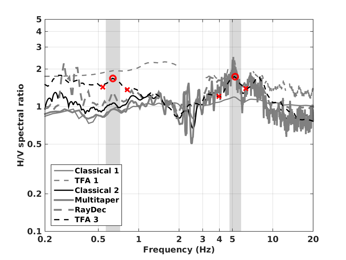
Site Characterization
|
channel group |
Empirical Amplification |
|---|---|
| CH.SAIRA..HH | 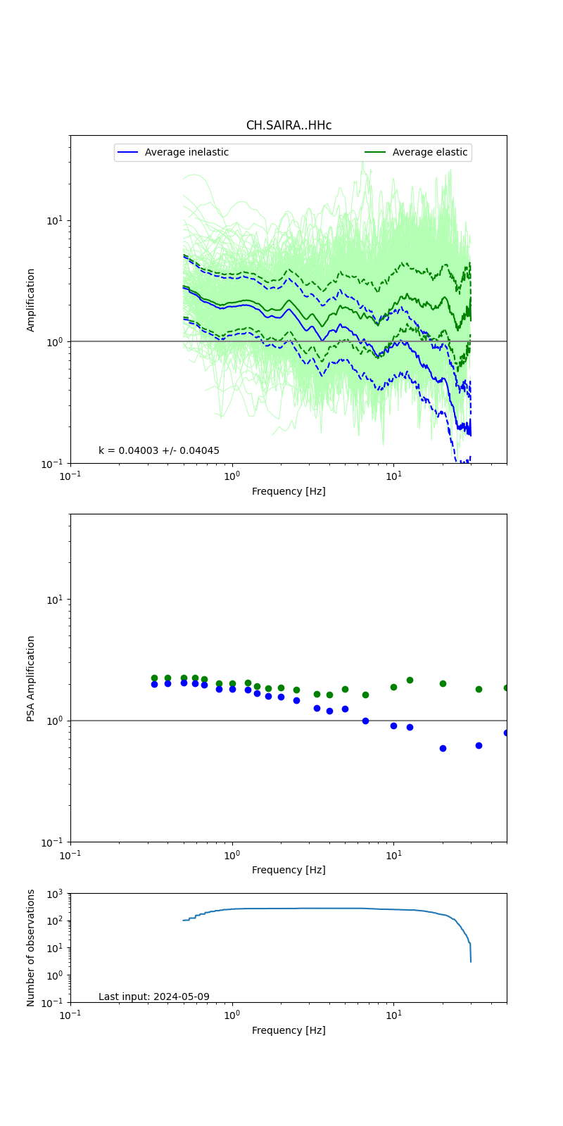 |
Obtained from spectral modeling of small earthquakes with constant update.
- Top: Fourier amplification with elastic (dashed line) and anelastic (solid line) amplification functions;
- Centre: 5% damped response spectra amplification (anelastic);
- Bottom: Number of recordings used.
See Edwards et al. (2013), Determination of Site Amplification from Regional Seismicity: Application to the Swiss National Seismic Networks. Seismological Research Letters, 84(4), 611–621.
| measurements nearby | list... |
|---|