Station Overview
| Overview Location |
 |
|---|---|
| Picture Gallery | details... |
| Overview Location |
 |
|---|---|
| Picture Gallery | details... |
| Geological Unit | Alluvium |
|---|---|
| Site Morphology Class |
T1 T1: flat; T2: slope; T3: ridge and T4: steep ridge; following Pessina and Fiorini (2014) A GIS procedure for fast topographic characterization of seismic recording stations, Soil Dynamics and Earthquake Engineering, 63, p248-258 |
| Site Morphology Description | Hillside |
| Ground type EC8 | |
| Ground type SIA | |
| Basin Information | not in a sedimentary basin with possible 2D/3D effects |
| Reference |
Sensor locations
| Location Code | (none) |
|---|---|
| Opening Date | 08-07-2014 |
| End Date | 2015-09-10 |
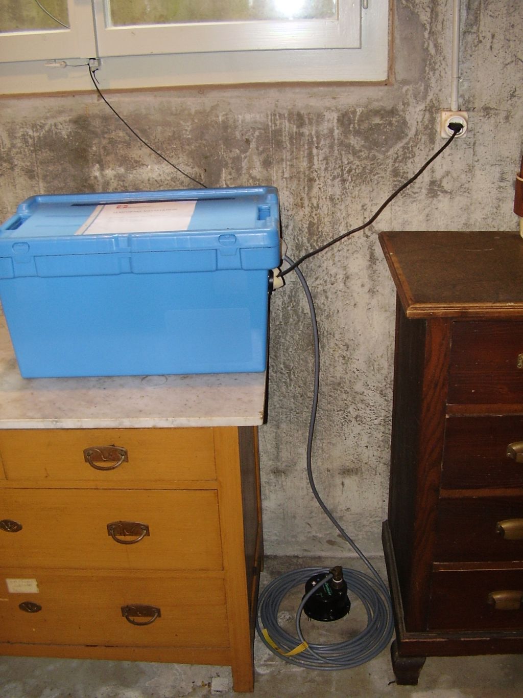
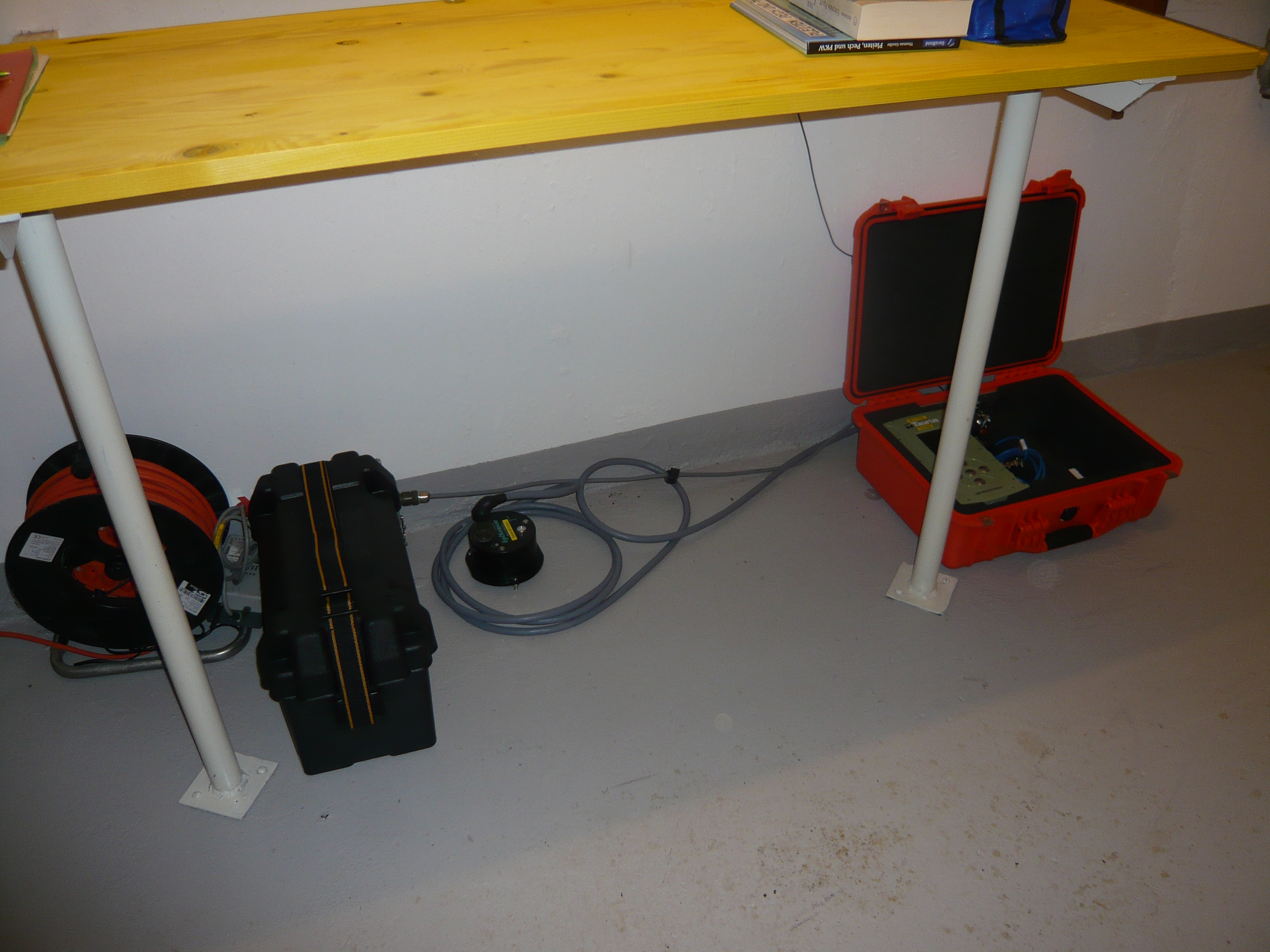
| Housing Class | Building |
| Housing Description | Basement of a masonry house |
| sensor depth below station | 0.0 m |
| Distance to Building (m) | - |
| Location Code | (none) |
|---|---|
| Opening Date | 27-09-2006 |
| End Date | 2007-12-17 |
| Housing Class | - |
| Housing Description | - |
| sensor depth below station | 0.0 m |
| Distance to Building (m) | - |
| Location code | (none) |
|---|---|
| On date | 08-07-2014 00:00:00 |
| Off date | 2015-09-10 23:59:59 |
| Waveform Access | open |
| Sensor model | EpiSensor ES-T |
| Sensor manufacturer | Kinemetrics |
| Digitizer model | Taurus |
| Digitizer manufacturer | Nanometrics |
| Channels | HGE , HGN , HGZ |
| Location code | (none) |
|---|---|
| On date | 27-09-2006 00:00:00 |
| Off date | 2007-12-17 00:00:00 |
| Waveform Access | open |
| Sensor model | EpiSensor ES-T |
| Sensor manufacturer | Kinemetrics |
| Digitizer model | Taurus |
| Digitizer manufacturer | Nanometrics |
| Channels | HGE , HGN , HGZ |
Site Characterization
|
channel group |
Empirical Amplification |
|---|---|
| 8D.CHBRI..HG | 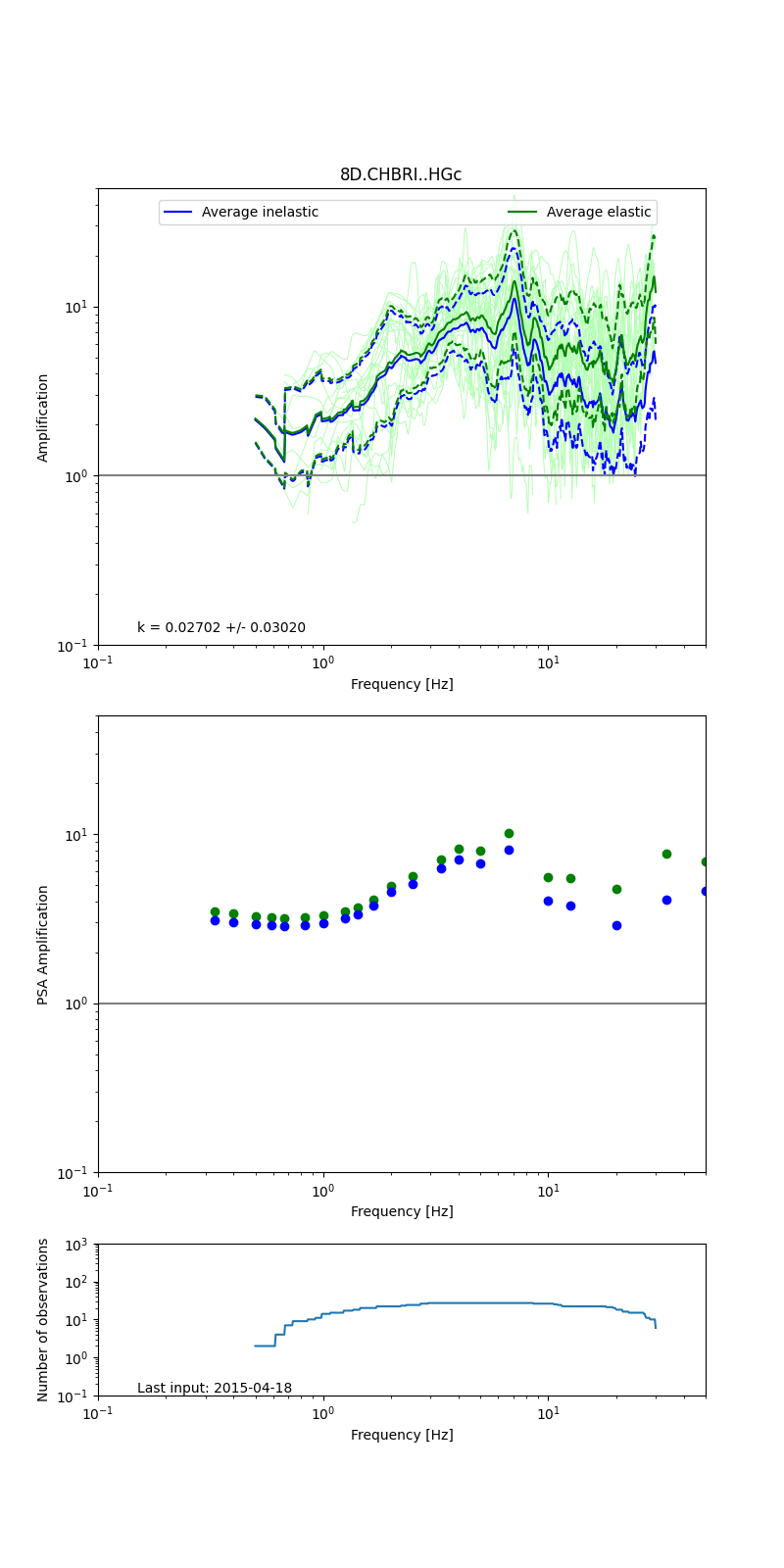 |
Obtained from spectral modeling of small earthquakes with constant update.
- Top: Fourier amplification with elastic (dashed line) and anelastic (solid line) amplification functions;
- Centre: 5% damped response spectra amplification (anelastic);
- Bottom: Number of recordings used.
See Edwards et al. (2013), Determination of Site Amplification from Regional Seismicity: Application to the Swiss National Seismic Networks. Seismological Research Letters, 84(4), 611–621.
| measurements nearby | list... |
|---|